Ten_65_Chinobre
- Distance: 6.5 Km
- Elevation gain: 426 m
- Maximum elevation: 875 m
- Elevation loss: 426 m
- Minimum elevation: 724 m
Interactive map
GPS track profile
About this GPS track
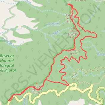
Name: Ten_65_Chinobre GPS track, route, trail
Coordinates: 28.55621 -16.17996 28.56973 -16.16595
Other GPS tracks
Click on a GPS track to view route, its statistics and profile.