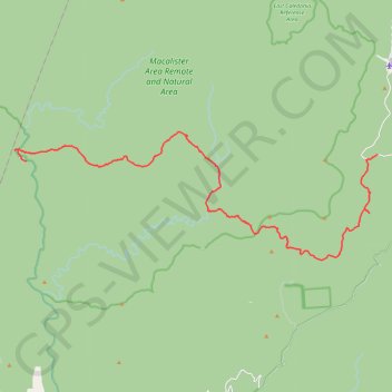
Butcher Country Track, Caledonia River Track, Dingo Hill Track, Kellys Lane
- Distance: 37.3 Km
- Elevation gain: 2,104 m
- Maximum elevation: 1,492 m
- Elevation loss: 1,068 m
- Minimum elevation: 427 m
- Moving time: 2 h 40 m
- Moving speed: 14.0 Km/h
- Maximum speed: 33.1 Km/h
- Total time: 3 h 32 m
- Global speed: 10.5 Km/h
- Date: 26/04/2024
Interactive map
GPS track profile
About this GPS track
Name: Butcher Country Track, Caledonia River Track, Dingo Hill Track, Kellys Lane GPS track, route, trail
Start: McAlister River Track, Reynard, Shire of Wellington, Victoria, Australia (-37.39757 146.54538)
End: Howitt Road, Arbuckle, Shire of Wellington, Victoria, Australia (-37.39456 146.75732)
Coordinates: -37.44518 146.53834 -37.38356 146.75732
Other GPS tracks
Click on a GPS track to view route, its statistics and profile.