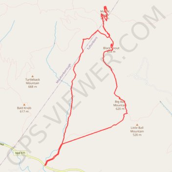
Black Snout and Mount Shaw Loop
Hike to Mount Shaw via Mount Shaw Trail, Italian Trail, Big Ball Mountain, Black Snout Trail and High Ridge Trail. #Hike #Loop #Mountain #Nature #Forest
- Distance: 12.2 Km
- Elevation gain: 739 m
- Maximum elevation: 895 m
- Elevation loss: 739 m
- Minimum elevation: 208 m
- Moving time: 5 h 58 m
- Moving speed: 2.0 Km/h
- Maximum speed: 4.2 Km/h
- Total time: 8 h 1 m
- Global speed: 1.5 Km/h
- Date: 03/04/2011
Interactive map
GPS track profile
About this GPS track
Name: Black Snout and Mount Shaw Loop GPS track, route, trail
Coordinates: 43.71075 -71.29192 43.74415 -71.26797
Other GPS tracks
Click on a GPS track to view route, its statistics and profile.